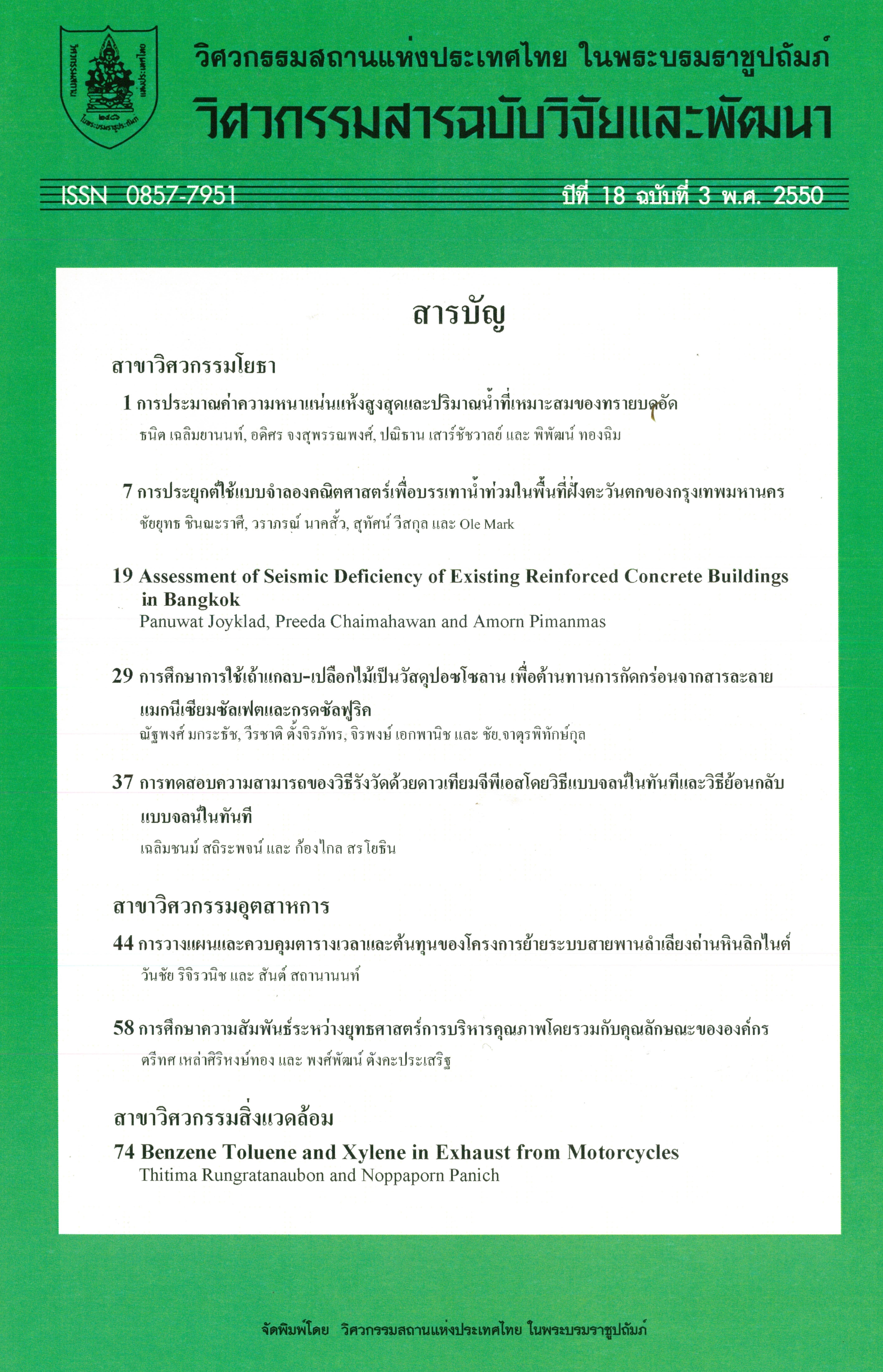
การประยุกต์ใช้แบบจำลองคณิตศาสตร์เพื่อบรรเทาน้ำท่วมในพื้นที่ฝั่งตะวันตกของกรุงเทพมหานคร
Main Article Content
Abstract
The mathematical model is used as a tool to evaluate the present drainage system as well as the scenario to improve its performance in BangMod, Ratburana and ThungKru areas. To improve the calibration results of water levels, artificial storages are found to be necessary to add in the model to represent released water from fish and shrimp ponds to natural canals after raining for 1-2 days. Model is used to simulate the coincident flooding coursed by high tide water level and heavy rainfall. The study shows that the computed flood location is 70% correct. Three improvement alternatives have been proposed to alleviate flood for five years return periods design rainfall combined with high tide. The concepts of alternatives vary from allowing flooding in the rural area to full scale flood protection. At present, water level should be properly lower and controlled. Next pumping capacity must be increased to 32% or 50% for different alternatives with future land use condition.
Article Details
The published articles are copyright of the Engineering Journal of Research and Development, The Engineering Institute of Thailand Under H.M. The King's Patronage (EIT).


