Book Review: So You Want to Create Maps Using Drones?
DOI:
https://doi.org/10.56261/built.v19.246766Abstract
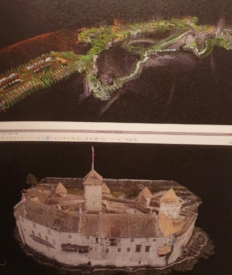
A new tool to collect aerial photography is the unmanned aerial vehicle (UAVs or Drones) that obtains the set of photographs and put them into the process. The photogrammetry creates a 3D modelling if it is updated. Eventually, the book's contents may not be up-to-date. However, the overview of the content gives the readers the basic meanings of keywords compared to creating 3D modelling forms of photography. The direction of tool development is also along with case-studies for easy understanding. Even though at the beginning of the book is hard to understand what has been communicated, the middle and end of the book describe the content
quite well. It has an example of work to show the overall clarity.
Downloads
References
Calvo, K. (2015). So You Want to Create Maps Using Drones? Milton Keynes UK: Lighting Source UK Ltd.
Waiyasurasingh, C. (2020). photographic survey Photogrammetry: SE-EDUCATION, Plc.

Downloads
Published
How to Cite
Issue
Section
License
Copyright (c) 2022 International Journal of Building, Urban, Interior and Landscape Technology (BUILT)

This work is licensed under a Creative Commons Attribution-NonCommercial-NoDerivatives 4.0 International License.


