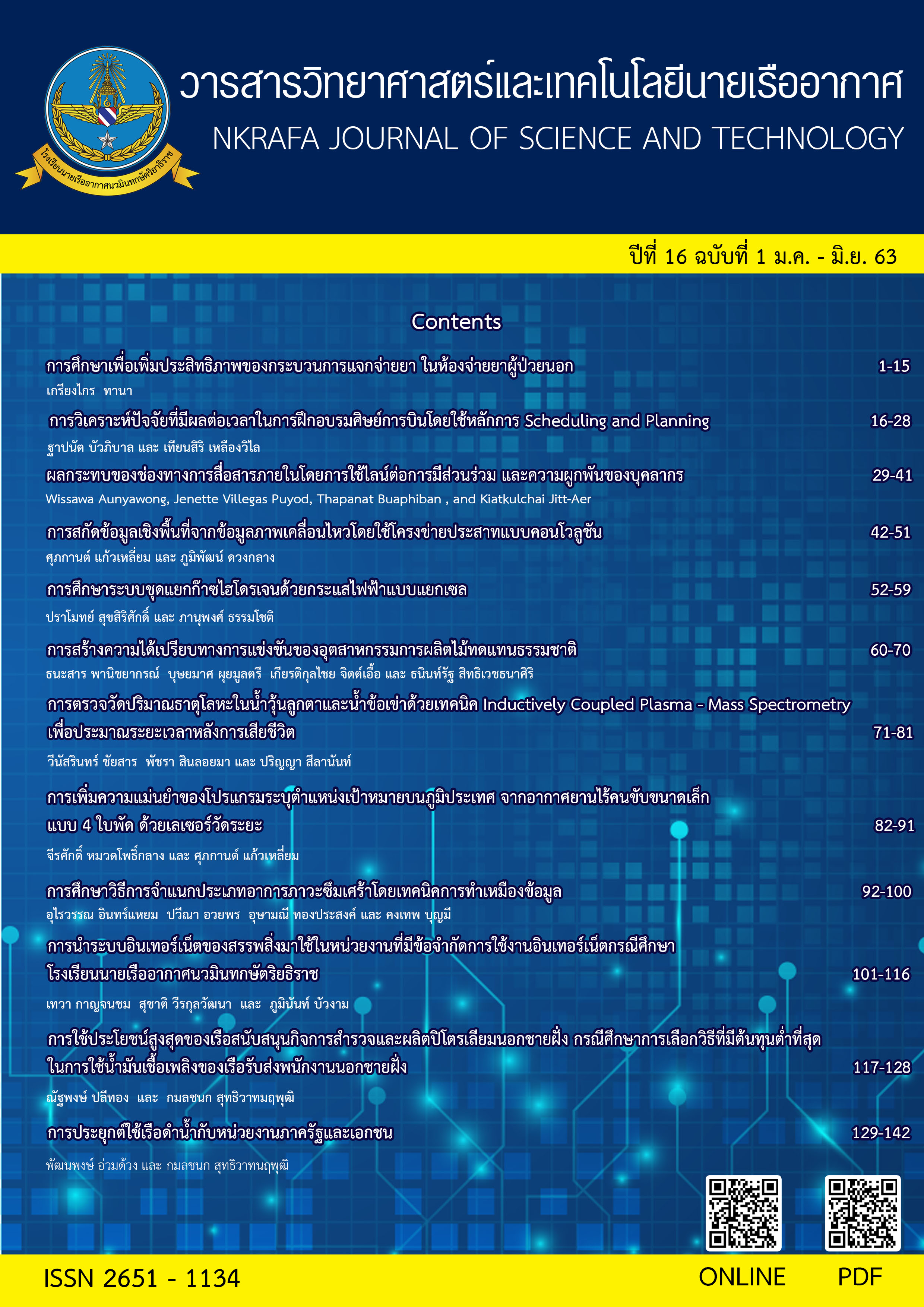
Extraction the spatial data from motion data using the convolutional neural network
Main Article Content
Abstract
The Royal Thai Air Force has an aerial imaging and recording system using Forward Looking Infrared (FLIR) capable of both day and night operations. The motion data will be sent to the ground station via Video Down Link (VDL). This method allows users to analyse image data realtime during the mission. However, the display of motion data on Geographic Information System still has limitations and requires specialised programs, which produce additional procurement costs. Therefore, the research team has devised an option to develop an image display system from aircraft to analyse data on Geographic Information System to track aircraft during the mission. The research team applied a Convolution Neuron Network to create a model for tracking aircraft by analysing spatial data from motion data during flight missions on Geographic Information System.
Article Details
- Content and information in articles published in NKRAFA Journal of Science and Technology are comment and responsibility of authors of articles directly. Journal editorial do no need to agree or share any responsibility.
- NKRAFA Journal of Science and Technology Articles holds the copyright of the content, pictures, images etc. which published in it. If any person or agency require to reuse all or some part of articles, the permission must be obtained from the NKRAFA Journal of Science and Technology.
References
[2] พิมพา ชีวาประกอบกิจ. (2562). การปรับปรุงประสิทธิภาพในการจำแนกภาพด้วยโครงข่ายประสาทแบบคอนโวลูชันโดยใช้เทคนิคการเพิ่มภาพ. TNI Journal of Engineering and Technology, 7(1): 59-64.
[3] J. Sanuksan and O. Surinta (2019). Deep Convolutional Neural Networks for Plant Recognition in Natural Environment. Journal of Science and Technology Mahasarakham University, 38(2), 113–124.
[4] จักรภัทร แก้วทอง ไตรปิฎก อินทสุวรรณ. (2560).โปรแกรมตรวจจับวัตถุและข้อความบนป้ายโฆษณา.คณะเทคโนโลยีสารสนเทศ สถาบันเทคโนโลยีพระจอมเกล้าเจ้าคุณทหารลาดกระบัง (วิทยานิพนธ์วิทยาศาสตร์บัณฑิต ).
[5] ณัฏฐชา ยงยิ่ง. (2562). การประยุกต์ใช้เทคโนโลยีการเรียนรู้เชิงลึกในการจำแนกข้อมูลถนนจากภาพถ่าย Drone เพื่อการสำรวจถนนในเขตชนบท. คณะเกษตรศาสตร์ ทรัพยากรธรรมชาติและสิ่งแวดล้อม มหาวิทยาลัยนเรศวร (วิทยานิพนธ์วิทยาศาสตร์บัณฑิต).
[6] อัญญา บูชายันต์, วนมพร พาหะนิชย์, ภูมิ สาทสินธุ์. (2018). เทคโนโลยีภูมิสารสนเทศกับการรู้เรื่องภูมิศาสตร์. Special Issue : JHSSRRU, 20 : 385-397
[7] ภูมิพัฒน์ ดวงกลาง, รัจนา เครือแก้ว. (2562). แบบจำลองการทำนายแบบอากาศยานจากข้อมูลเป้าหมายไม่ทราบฝ่ายอัตโนมัติ.วารสารวิทยาศาสตร์และเทคโนโลยีนายเรืออากาศ, 15(1) : 1-8
[8] Evelyn Guindo Betancourt,Armando Plasencia Salgueiro.(2019).METHODOLOGICAL PROPOSAL FOR THE CLASSIFICATION OF TEXTS WITH CONVOLUTIONAL NEURAL NETWORKS. International Journal of Computer Science and Technology (IJCST), 4(1):1-20
[9] University Of Surrey. (2012). The Chars74K dataset. Retrived on January 10,2020, from http://www.ee.surrey.ac.uk/CVSSP/demos/chars74k/
[10] MOSES OLAFENWA. (2020). ImageAI. Retrived on January 5,2020, from https://github.com/OlafenwaMoses/ImageAI
[11] Kaiming He,Xiangyu Zhang,Shaoqing Ren,Jian Sun.(2016). Deep Residual Learning for Image Recognition. IEEE Conference on Computer Vision and Pattern Recognition (CVPR).
[12] esri. (2019). ArcGIS API for JavaScript. Retrived on February 15, 2020, from https://developers.arcgis.com/javascript


