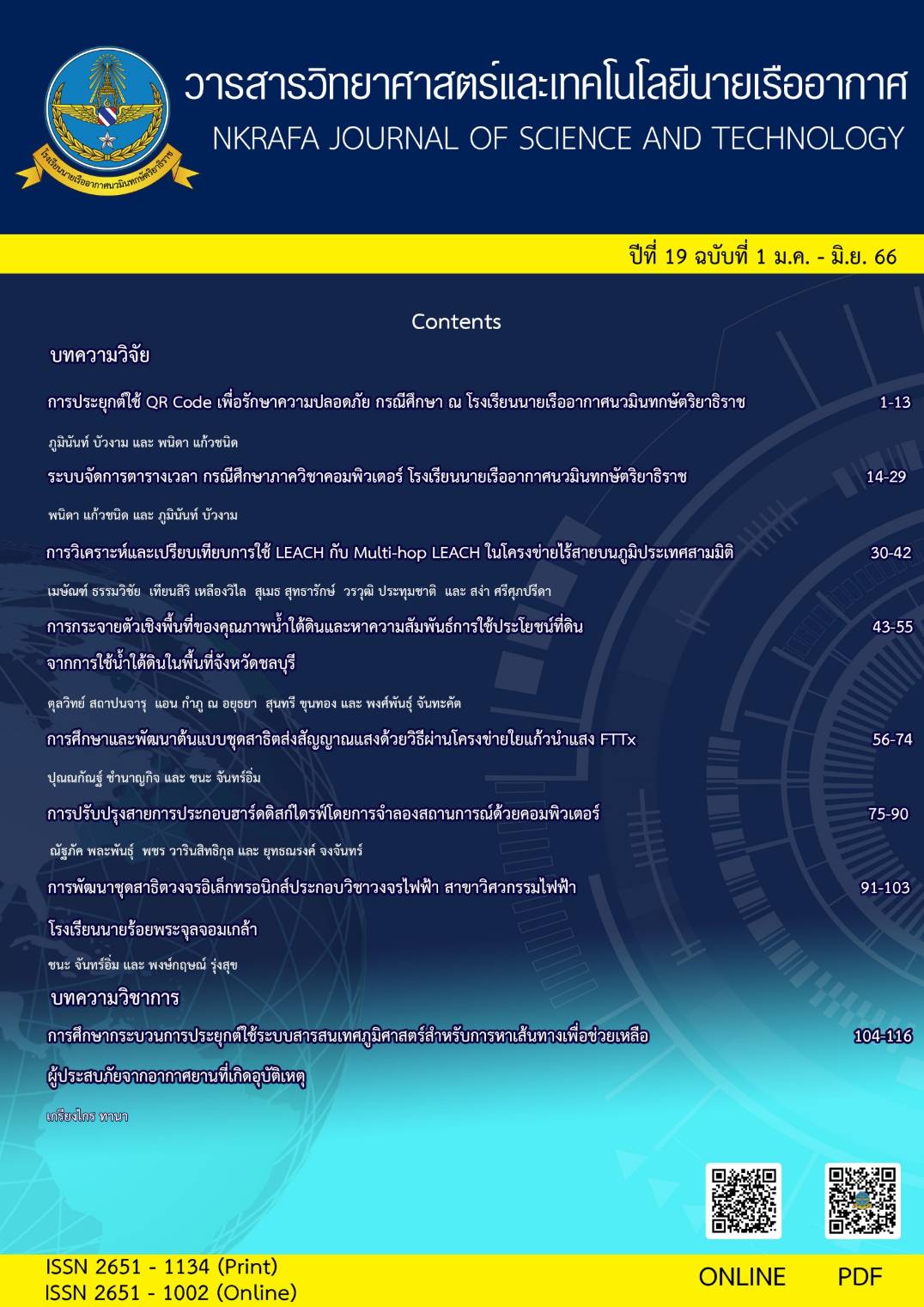
Spatial Distribution of Groundwater Quality and Finding the Relationship of Land Use from Groundwater Use in Chon Buri Province.
Main Article Content
Abstract
The objective of this research was to study the spatial distribution of groundwater quality in Chonburi Province using Geographic Information System and study of relationship between groundwater quality and land use in the study area.182 Groung water well were analyied. The results showed that when sorting the Ground water quality rating (GWQI) from 1-5 or (from very good to very bad water quality). GWQI water quality that was in the excellent quality criteria was ranked The first, with a GWQI less than 50, a total of 92 wells, or a percentage of 50.50 percent of the total collection ponds, and the use of land in the group. U405 Road comes first and the group U201The village comes the second. GWQI values ranged from 50-100, with level 2 being the level of good water quality as a percentage of 42.85% of the total sampled wells. The land use in group A302, rubber plantation area came in first place and the group U201The village comes second. In which both GWQI values are within the criteria that groundwater can be used for consumption.The study found that quality of most groundwater is in the range of GWQI of no more than 100. It was found that the average water quality in Chonburi Province was good.
Keyword: Spatial distribution , Groundwater quality, Chon Buri
Article Details

This work is licensed under a Creative Commons Attribution-NonCommercial-NoDerivatives 4.0 International License.
- Content and information in articles published in NKRAFA Journal of Science and Technology are comment and responsibility of authors of articles directly. Journal editorial do no need to agree or share any responsibility.
- NKRAFA Journal of Science and Technology Articles holds the copyright of the content, pictures, images etc. which published in it. If any person or agency require to reuse all or some part of articles, the permission must be obtained from the NKRAFA Journal of Science and Technology.
References
กรมโรงงานอุตสาหกรรม | Department of Industrial Workshttps://www.diw.go.th
แผนพัฒนาจังหวัดชลบุรีhttp://www.chonburi.go.th ›
คณะกรรมการสิ่งแวดล้อมแห่งชาติ. 2543. กำหนดมาตรฐานคุณภาพน้ำใต้ดินออกตามความ พระราชบัญญัติส่งเสริมและรักษาคุณภาพสิ่งแวดล้อมแห่งชาติ พ.ศ. 2535
Burrough, P.A. 1986. Principles of Geographical Information Sustems for Land Resources Assessment. Clarendon, Oxford.
Water, NM.1988. Expert System and Systems of Experts. Chapter 12 in W.J.Coffey,ed. Geographical Systems and Systems of Geography: Essays in Hornour of William
Burrough, P.A and R.A. McDonnell. 1998. Principles of Geographical Information Systems for Land Resources Assessment. Oxford University Press, Inc.New York.
Chang, KT.2002. Introduction to Geographic Information Systems. McGraw Hill Higher Education, New York.
Napatsawan Noiwong 2010: Spatial Distribution of Pb and Hg in Topsoils at Rayong Province. Master of Science (Environmental Technology and Management), Major Field: Environmental Technology and Management, Department of Environmental Science. Thesis Advisor: Assistant Professor Tunlawit Satapanajaru, Ph.D. 158 pages.
R. M. Brown, N. I. McClelland, R. A. Deininger, and R. G. Tozer, J. Water and Sewage Works 117, 339 (1970).
S. A. Abbasi and D. S. Arya, Environmental Impact Assessment (Discovery Publishing House, New Delhi, 2000).
Shooshtarian, M.R.; Dehghani, M.; Margherita, F.; Gea, O.C.; Mortezazadeh, S. Land use change and conversion effects on ground water quality trends: An integration of land change modeler in GIS and a new Ground Water Quality Index developed by fuzzy multi-criteria group decision-making models. Food Chem. Toxicol. 2018, 114, 204–214. [CrossRef] [PubMed]
Ashiyani, N.; Suryanarayana, T.M.V. Assessment of groundwater quality using GWQI method—A case study of nadiad taluka, Gujarat, India. In Proceedings of the 20th International Conference on Hydraulics, Water Resources and River Engineering, Roorkee, India, 17–19 December 2015.
Rupal, M.; Tanushree, B.; Sukalyan, C. Quality Characterization of Groundwater using Water Quality Index in Surat city, Gujarat, India. Int. Res. J. Environ. Sci. 2012, 1, 14–23.
Arina Khan Haris Hasan Khan Rashid Umar. Impact of land-use on groundwater quality: GIS-based study from an alluvial aquifer in the western Ganges basin. Appl Water Sci (2017) 7:4593–4603 https://doi.org/10.1007/s13201-017-0612-7
Pankaj Kumar , Rajarshi Dasgupta Brian Alan Johnson et.al. Effect of Land Use Changes on Water Quality in an Ephemeral Coastal Plain: Khambhat City, Gujarat, India. Water 2019, 11, 724; doi:10.3390/w11040724. www.mdpi.com/journal/water
มาตรฐานน้ำบาดาลและน้ำแร่เพื่อการบริโภค – กรมทรัพยากรธรณี http://www.dmr.go.th ›


