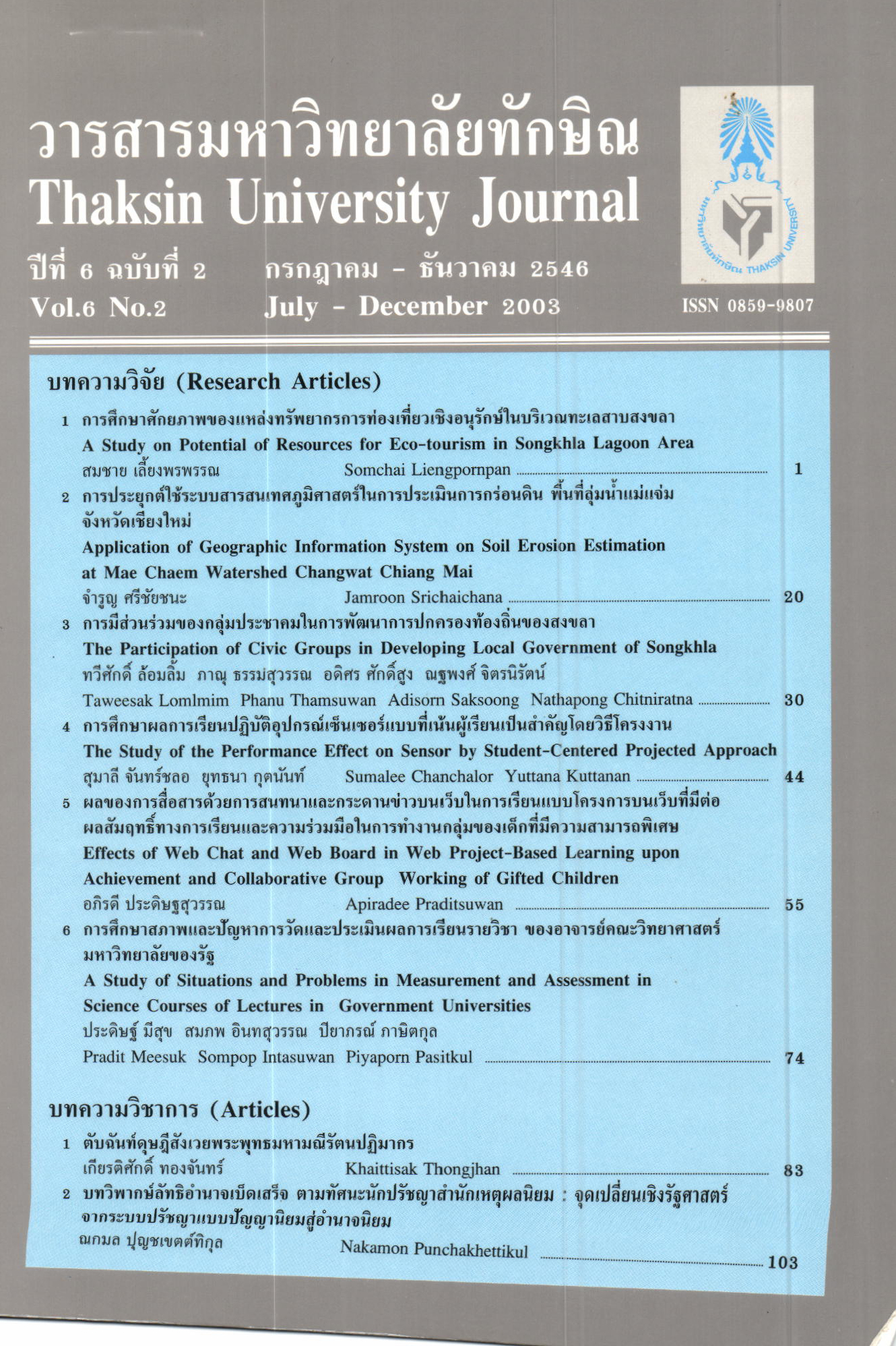
การประยุกต์ใช้ระบบสารสนเทศภูมิศาสตร์ในการประเมินการกร่อนหิน พื้นที่ลุ่มแม่น้ำแจ่ม จังหวัดเชียงใหม่
Main Article Content
Abstract
Application ofGeographic lnformation System estimating soil erosion at the Mae Chaem catchments area, which is the important watershed area in the northem of Thailand and it is the origin of Ping river used the USLE equation dudng 10 years (1988-1997) The study found that in 1988, the maximum sediment loss is 1,850,623 12 ton or 482.646 t('n/km' and in 1990 the minimum sediment is 816,383.62 ton or 212.914 ton,/km'. Land-use of Mae Chaem catchments has changed. The fbrested area has deffeased from 86.86% in 1s89 to 74.29 o/o \n 1994. The rate of decrease is L2.b? oh by forested area has been changed to be the agricultural area that causes to increase of sediment including the average precipitation from 10 station is 1,084 mm. that increase fiom 8bt.b9 mm. in 1993. ln 1994 the sediment loss was 1,693,664 ton. This study uses several factors in its analyze: rainfall (R), runoff (Q) and land use (FR = forest area, AG = agriculture area, SH = shilting, UB = urban, WT = water area). The multiple linear regression : Sed = -1613.769 + O.BgBR - 0.730Q + 6.529FR + l59.88lAG + r+.sorSH + 10?.144U8 + 155?70.82sWT is used to find the relation between ; land use, precipitation (R) and runoff (Q). After statistically testing this equation it is found equation with statistical method found rhar the result is non - significant due to no relation ship of some of the factors with the sediment loss. Atler deleting non-related factors by Stepwise method lbr eliminating unimportant variables, only z variables remail for the analysis; annual precipitation and percent age of agricultural area. The regression is Sed = -67-577 + 0.288R + 90.6s?AG, r' = 0.832. The result found that the equation is significant at confident level gs%.
Article Details
Section
Research Articles


