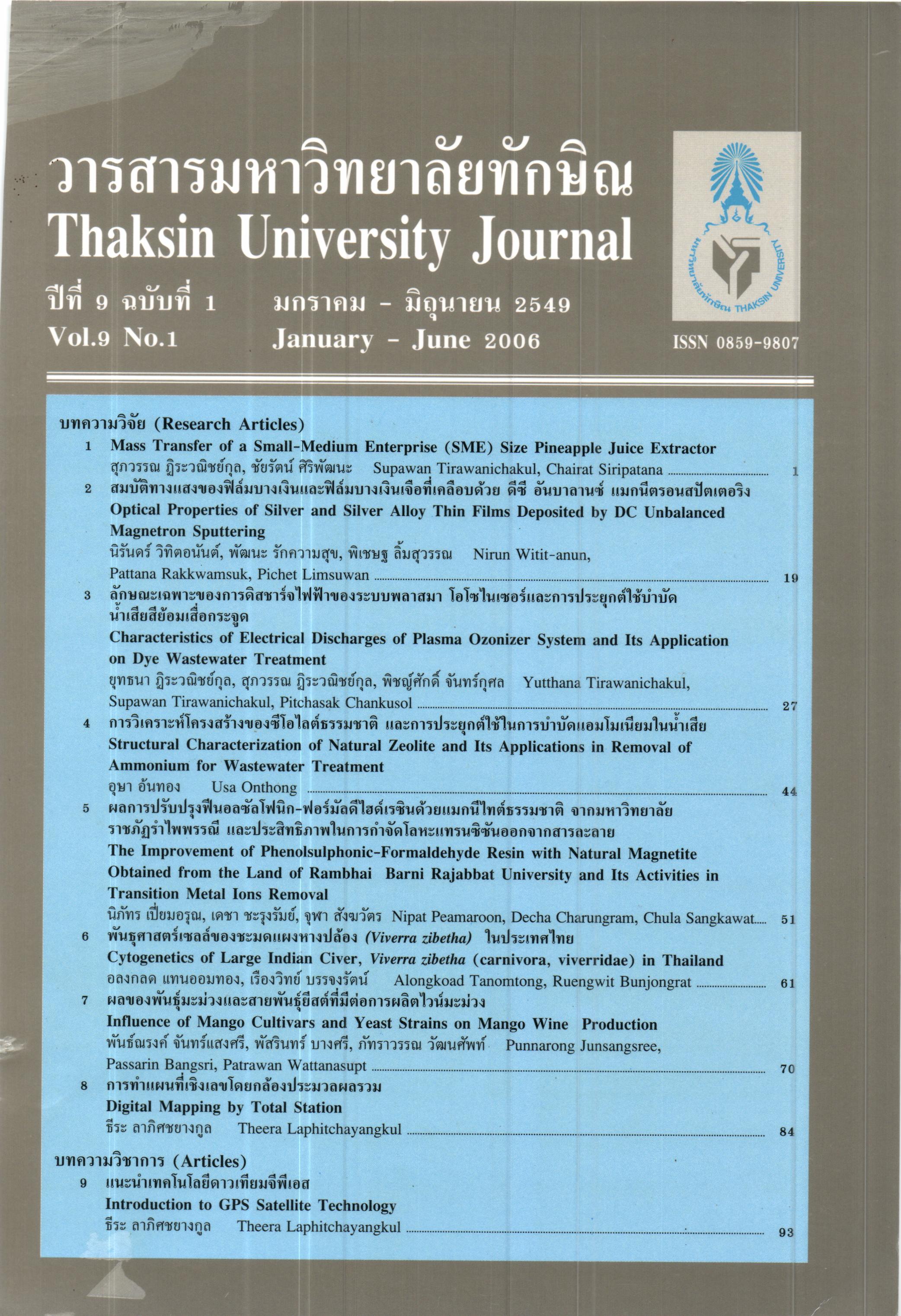
การทำแผนที่เชิงเลขโดยกล้องประมวลผลรวม
Main Article Content
Abstract
This paper was a study in order to develop method and procedure of preparing and automatic Topographic Map by using Electronic Total Station and Autodesk Land Development Program. In the way of download the data from Total Station to computer. The advantage of Total Station is storage tfie data field book for draft a topographic map either coordinate in x, y and z axis or collect the code of detail of that point. It is able ro separate the detail from the description key by using Autodesk Land Development. Due to the Autodesk Land Development Program has the command as AutoCAD' it is convenient for construct and corrects the map figure. And also, program to excuse information about the height of topographic to calculate for constructing the model surface and making a contour line. To summarize, from this thesis "Digital Mapping by Total Station" at KMUTT with UTM coordinate had found that the program and the Total Station producer a topographical map with had satisfied result' accurate rapid and convenient for implement, which are the Geographic Map that has accuracy 1:13,393 and Contouring in the same map.
Article Details
Section
Research Articles


