การวิเคราะห์ความละเอียดข้อมูลความลึกบริเวณอ่าวไทย
Article Sidebar
Main Article Content
บทคัดย่อ
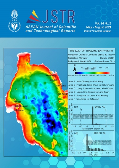
ข้อมูลความลึกพื้นทะเลชนิด GEBCO30 ความละเอียด 0.5 ไมล์ทะเล บริเวณอ่าวไทย ถูกปรับแก้ความถูกต้องเปรียบเทียบกับข้อมูลที่อ่านได้จากแผนที่เดินเรือ จำนวนรวม 47 ระวาง ที่ถูกสำรวจและเผยแพร่ระหว่าง พ.ศ. 2534–2548 การปรับแก้ความถูกต้องข้อมูลความลึกพื้นทะเลและการปรับปรุงความละเอียดแผนที่จาก 926 เมตร เป็น 200 เมตร และ 50 เมตร ทำโดยใช้ชุดคำสั่งในโปรแกรม The Generic Mapping Tools (GMT) ผลการศึกษาแสดงว่าขอ้ มูล GEBCO30 ในอ่าวไทย ที่ถูกปรับแก้ความถูกต้องแล้วที่มีความละเอียด 50 เมตร มีจำนวน 27,704,202 ข้อมูล และมีความลึกอยู่ในช่วง (-97.99) – (2.51) เมตร ข้อมูลร้อยละ 99.07 แสดงความคลาดเคลื่อนรวมเชิงพื้นที่ที่ระดับความน่าเชื่อถือร้อยละ 95 อยู่ในช่วง ±10 เมตร ข้อมูลทั้งหมดแสดงความคลาดเคลื่อนรวมตามความลึกที่ระดบั ความน่าเชื่อถือร้อยละ 95 อยใู่ นช่วง ±1.3685 เมตร และค่าเบี่ยงเบนมาตรฐาน 0.1945 ร้อยละของความลึกน้ำ ซึ่งสูงกว่าข้อมูลที่ถูกปรับแก้ความถูกต้องแล้วมีความละเอียด 926 และ 200 เมตร ตามลำดับข้อมูลความลึกพื้นทะเล GEBCO30 ที่ได้ปรับแก้ความถูกต้องและถูกปรับปรุงความละเอียดเป็น 50 เมตร นี้มีความน่าเชื่อถือตามมาตรฐานอุทกศาสตร์สากลและข้อมูลทั้งหมดมีค่าเบี่ยงเบนมาตรฐานต่ำกว่า ร้อยละ 1 ของความลึกน้ำ
Article Details

อนุญาตภายใต้เงื่อนไข Creative Commons Attribution-NonCommercial-NoDerivatives 4.0 International License.
เอกสารอ้างอิง
Buranapratheprat, A., & Bunpapong, M. (1998). A two-dimension hydrodynamic model for the Gulf of Thailand. In The IOC/WESTPAC Fourth International Scientific Symposium, 469–478. February 2-7, 1998, Okinawa: Japan.
Yanagi, T., Sachoemar, S.I., Takao, T., & Fujiwara, S. (2001). Seasonal variation of stratification in the Gulf of Thailand. Journal of Oceanography, 57, 461–470.
Jintasaeranee, P. (1998). Circulation of deep water masses in the Gulf of Thailand using natural Radium-226 and Radium-228 radiotracers. Graduate Thesis. Chulalongkorn University. (in Thai)
Phaksopa, J., & Sojisuporn, P. (2006). Storm surge in the Gulf of Thailand generated by Typhoon Linda in 1997 using Princeton Ocean Model (POM). Kasetsart Journal (Natural Science), 40, 260–268.
Cheevaporn, V., & Menasveta, P. (2003). Water pollution and habitat degradation in the Gulf of Thailand. Marine Pollution Bulletin, 47, 43–51.
Wattayakorn, G. (2012). Petroleum pollution in the Gulf of Thailand: A historical review. Coastal Marine Science, 35(1), 234–245.
General Bathymetric Chart of the Oceans (2010). The GEBCO_08 Grid. version 20100927 (On line). Retrieved 25 October 2010 from https://www.gebco.net/data_and_products/gridded_bathymetry_data/documents/gebco_08.pdf.
Marks, K.M., & Smith, W.H.F. (2005). 2,500 m isobath from satellite bathymetry: Accuracy assessment in light of IHO S-44 standards. International Hydrographic Review, 6(2), 1–11.
Sandwell, D.T., Smith, W.H.F., Gille, S., Kappel, E., Jayne, S., Soofi, K., Coakley, B., & Geli, L. (2006). Bathymetry from space: Rationale and requirements for a new, high-resolution altimetric mission. C.R. Geoscience, 338, 1049–1062.
Jintasaeranee, P. (2012). Accuracy of the general bathymetry (GEBCO 30 arc-second) in the Upper Gulf of Thailand. Burapha Science Journal, 17(1), 69–76. (in Thai).
International Hydrographic Bureau (2008). IHO standards for hydrographic surveys, 5th Edition, February 2008. Monaco: International Hydrographic Bureau.
Beyer, A., Schenke, H.W., Klenke, M., & Niederjasper, F. (2003). High resolution bathymetry of the eastern slope of the Porcupine Seabight. Marine Geology, 198, 27–54.
Beyer, A., Rathlau, R., & Schenke, H.W. (2005). Multibeam bathymetry of the Hakon Mosby mud volcano. Marine Geophysical Researches, 26, 61–75.
Jintasaeranee, P. (2018). A high resolution bathymetric data for the inner Gulf of Thailand. Burapha Science Journal, 23(3), 1559–1570. (in Thai)
Jintasaeranee, P., & Buranapratheprat, A. (2017). A correction of the general bathymetric data in the Gulf of Thailand. Burapha Science Journal, 22(2), 118–134. (in Thai)
Smith, W.H.F., & Sandwell, D.T. (2004). Conventional bathymetry, bathymetry from space, and geodetic altimetry. Oceanography, 17(1), 8–23.
Wessel, P., & Smith, W.H.F. (1998). New improved version of generic mapping tools release. EOS Transactions American Geophysical Union, 79(47), 579.
